Deliverables
Sample Survey Outputs
Every project includes professional-grade maps, reports, and CAD drawings as deliverables.
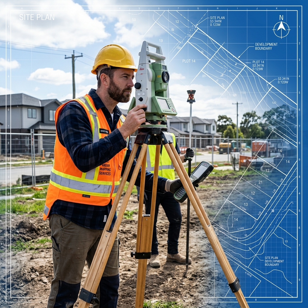
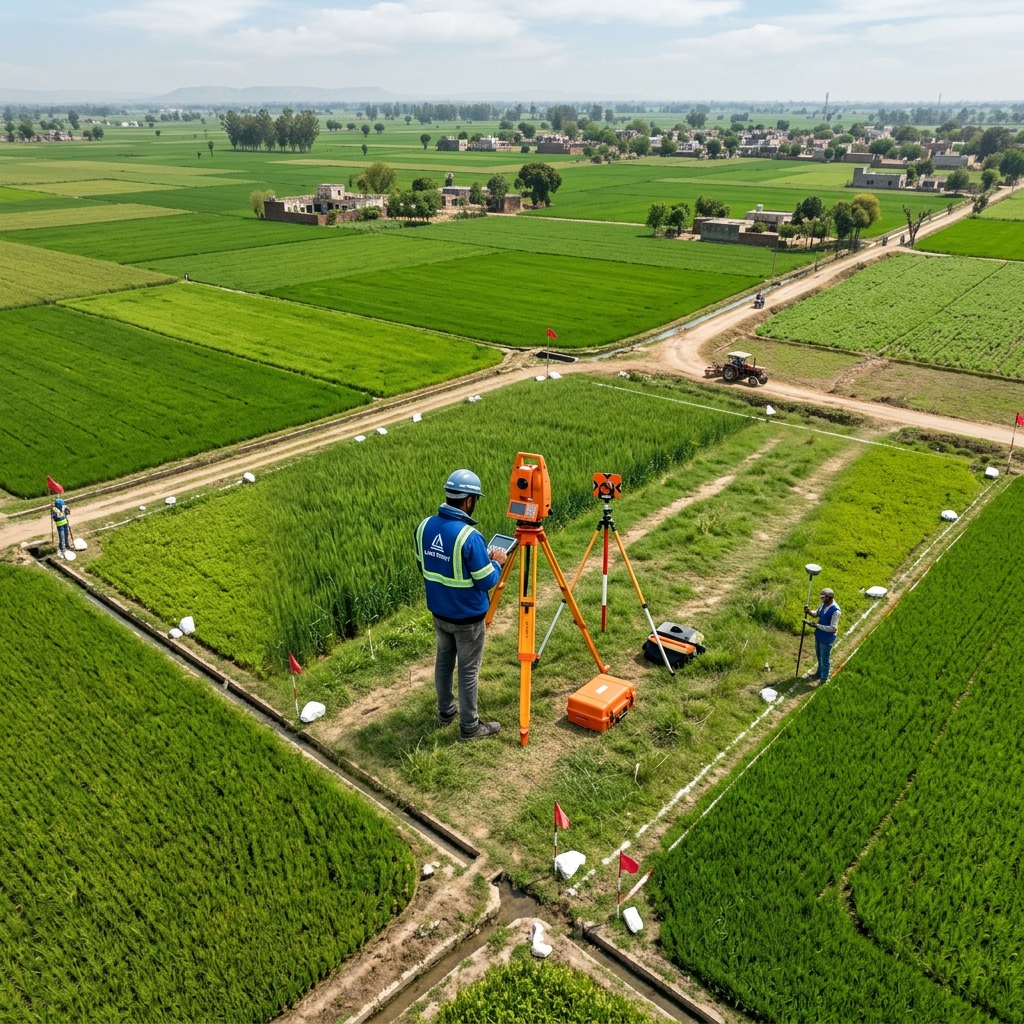

Precision surveying with Total Station, DGPS, and drone mapping technology for residential, commercial, and infrastructure projects.
Comprehensive land survey and engineering solutions powered by advanced instruments and 15+ years of field expertise.
Every project includes professional-grade maps, reports, and CAD drawings as deliverables.
State-of-the-art surveying instruments ensuring millimeter-level accuracy for every project.
Electronic distance measurement with angular precision of 1″ arc-second. Ideal for boundary surveys, construction staking, and detailed topographic mapping.
Accuracy: ±2mm + 2ppmDifferential GPS with real-time kinematic (RTK) corrections for centimeter-level positional accuracy. Used for large area surveys and geodetic control networks.
Accuracy: ±1cm HorizontalUAV-based photogrammetry with high-resolution cameras producing orthomosaic maps, 3D point clouds, and volumetric calculations for large-scale projects.
Resolution: 2cm/pixel GSDFill in your project details and our survey team will prepare a customized quotation within 24 hours.